 mundialis GeoNetwork catalogue
Global
Type of resources
Topics
INSPIRE themes
Keywords
Contact for the resource
Provided by
Formats
Representation types
Update frequencies
status
Resolution
-
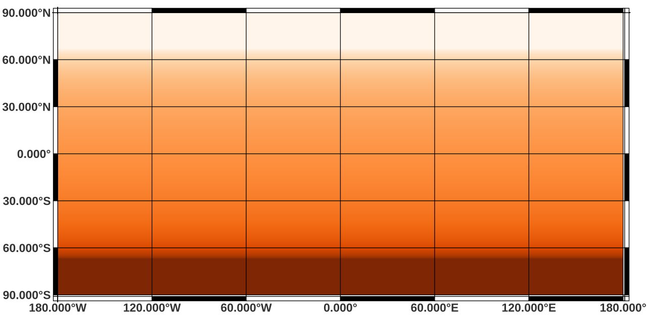
Overview: Daily maps for global daylight length, calculated for the year 2022. Processing steps: For each day within the year 2022, the photoperiod (sunshine hours on flat terrain) are calculated using the SOLPOS algorithm developed by the National Renewable Energy Laboratory (NREL), USA. Resultant values have been converted from hours to minutes. File naming scheme (DDD = day within year) (min is abbreviation for minute): daylight_min_2022_DDD.tif Projection + EPSG code: Latitude-Longitude/WGS84 (EPSG: 4326) Spatial extent: north: 90 south: -90 west: -180 east: 180 Spatial resolution: 30 arc seconds (approx. 1000 m) Temporal resolution: Daily Pixel values: unit: minutes Software used: GDAL 3.2.2 and GRASS GIS 8.2.0 Processed by: mundialis GmbH & Co. KG, Germany (https://www.mundialis.de/) Reference: National Renewable Energy Laboratory (NREL): SOLPOS 2.0 sun position algorithm (https://www.nrel.gov/grid/solar-resource/solpos.html)